Uganda, also known as the "Pearl of Africa," offers an array of experiences for travelers—from…
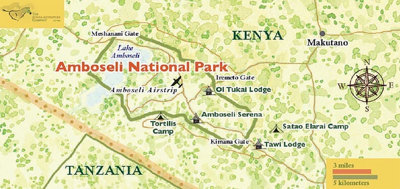
Map of Amboseli National Park
Map of Amboseli National Park, How to Get to Amboseli National Park
Amboseli National Park is one of the most popular places for tourists to visit in Kenya. It is in the Kajiado area, 95 km from the city of Nairobi. Amboseli National Park is Kenya’s most famous tourist destination. The detailed map shows the main roads that lead to the park, as well as the nearby national parks, cottages, safari camps, the main park gates, bodies of water and streams, the main hills, and more.
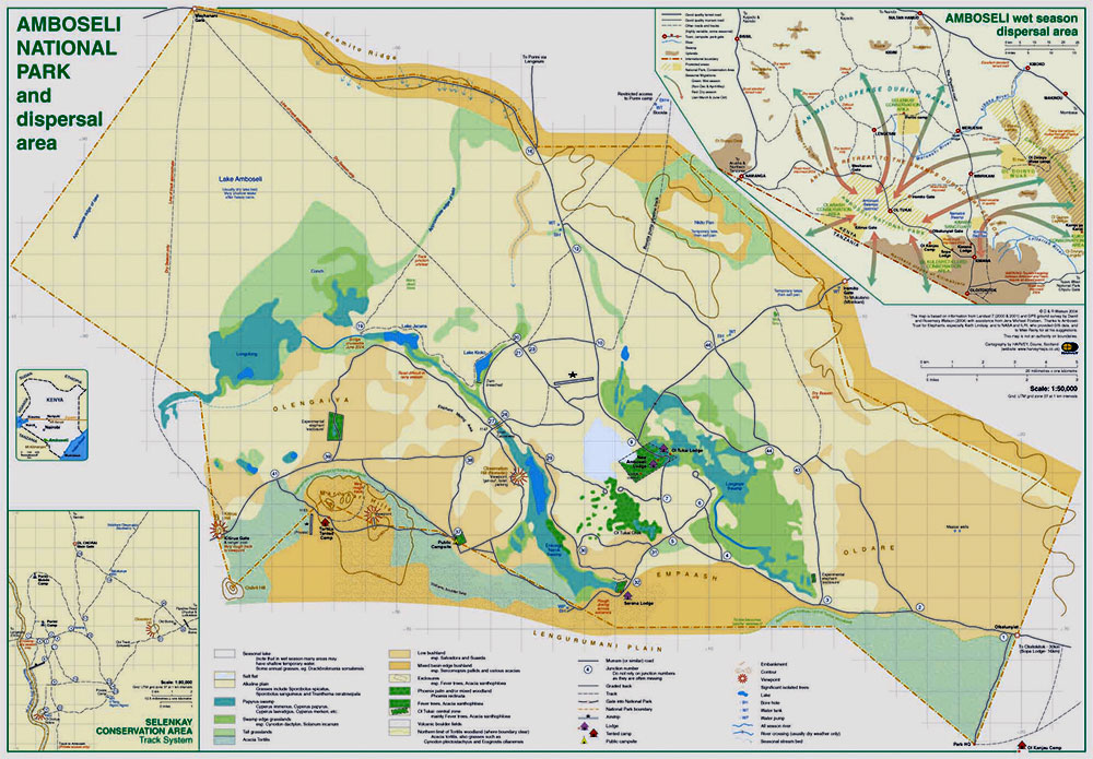
The Meshanani gate, the Kiritua gate, the Iremito gate, and the Kimana gate lead into the park. The Kimana gate is the main gate and is sometimes the only gate that works. Kenya Safari Guide says to take the road from Nairobi to Arusha and go through Namanga. Then, enter the park through the Meshanani gate. If you choose to go the Mombasa way instead, you will enter the park through the Tsavo National Park at the Kimana gate. The park is close to the KWS headquarters, the KWS cabins, and a camping area.
Related Posts