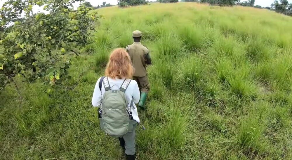
Uganda, famously known as the Pearl of Africa, offers a diverse range of safari experiences,…
Mount Stanley
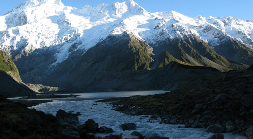
Mount Stanley, The tallest mountain in the Rwenzori Mountains is Mount Stanley. The Democratic Republic of the Congo and Uganda are both next to these mountain regions. This beautiful mountain rises from jungle and strange bogs to a group of sharp peaks surrounded by the most glaciers in Africa. In the African Rift System, Mount Stanley is a fault block mountain that rises between two rifts.
What should you wear to climb the Rwenzori Mountains?
They were formed in the last 10 million years and are made up of gneiss and quartzite. Mists and rain cover the mountains almost all the time, and thunder and lightning happen often.
There is an amazing variety of bogs, mossy forests, and other landscapes that look like they belong in The Lord of the Rings nowhere else on Earth. The range gets a lot of heavy rain, sleet, and snow most of the year. But January through February and June through August are the two drier times. You should almost certainly plan your trip for one of those times. Still, it’s possible for weeks to have fog and rain. The rain was normally light and only lasted a few hours, which was good.
The best way to get to Mount Stanley
At the moment, the cheapest way to get to Mount Stanley is through Uganda. Entebbe Airport is good, and there are lots of trips to Nairobi and Kigali from this airport, which is on the shores of Lake Victoria. Enebbe and Kampala, which are both about a half-hour’s drive from the airport, have a lot of restaurants. It is possible to get to the Mountain Rwenzori from Kampala in two main ways. One goes to Kasese through the pretty town of Fort Portal. You can also take a different path that goes through Masaka, Mbarara, and Kasese. It’s a paved road until you get a few kilometers away from the mountain base.
If you like to take risks and want to do this by yourself, you can take a bus or cab from Kampala to Kasese. To get to the base of the mountain, hire a cab. It’s possible to rent a self-drive car and drive up the mountain by yourself. Monumental Expeditions and Safaris can plan and carry out your trip based on your needs.
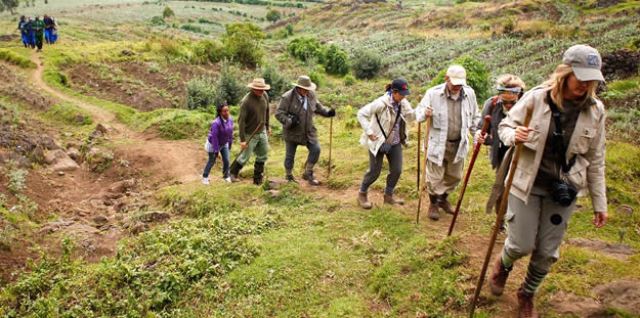
People have traditionally done most of their activities in a loop that goes up the Bujuku Valley, over the beautiful Kitandara Lakes, and then over the Freshfield Pass into the Mubuku Valley. The huts and trails on this main route are very well connected. In some places, the paths are rough and full of mud.
At different times, people have tried to build boardwalks across some of the larger bogs. Rwenzori Mountaineering Services runs treks to Mount Stanley and keeps these wooden paths in good shape. It takes most people about a week to get to and climb Mount Stanley. An example of a normal travel plan looks like this:
When is the best time to climb Rwenzori?
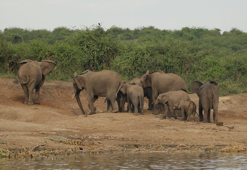
The first day starts with leaving Kasese town and going up the road to the Nyakalengija gate. Following the Mubuku River from this point on will take you through a lush jungle and past thickets where you might see elephants and chimps. This is where a steep glacier bank starts. The Nyabitaba hut is at 2600 meters up this path, where you can hear or see chimps and monkeys. The path goes through huge trees on its way there. It takes most walkers about 5 hours to go up 1200 meters. From the cabin, you can see the Portal Peaks.
Day 2: Go down from the moraine and cross the Mubuku River. Then, go up to the John Matte Hut, which is at 3500 m and is surrounded by bamboo and trees that are covered in moss and ferns. There are a lot of rocks on the road today. It will take about 7 hours to walk this.
After breakfast on day 3, cross the Lower Bigo Bog to get to the older Bigo hut. Now, it is possible to take a one- or two-day trip up the Mugusu Valley to the Lac de la Lune, which was Ptolomy’s source for the Nile. This valley is also a way to get to Mt. Gessi and Mt. Emin. At 4075 meters, the Bujuku Hut is at the end of the main path.
Along the way, you’ll see beautiful scenery as you go by the Upper Bigo Bog and Lake Bujuku. A lot of people take 5 hours to climb the 560 meters. If the sky is clear, you can see Mt. Stanley from this spot. Most people who want to climb Mt. Speke start at the Bujuku Hut. Some fast hikers do both the approach and the peak climb in the same day.
Up to the Elena Hut at 4540 meters on Day 4. It used to be next to the Elena Glacier. It takes several hours to finish the steep climb. In one part of the journey, you have to climb a long ladder (Groundsel Gully). The high part of the climb is on slabs that are covered in moss. Views from the hut are usually cloudy, but when the weather clears, they can be beautiful. You can see the Portal Peaks, Mt. Baker, and the Coronation Glacier on Mt. Stanley. In many ways, the hardest part of the climb can be getting from the hut to the outhouse early in the morning over ice-covered rocks.
Today is Day 5. Climb steep, wet slabs to get to the Elena Glacier and the Stanley Plateau, which is Africa’s biggest ice field. There are different lines that can be used depending on the situation. From here, it’s easy to get to the beautiful SE ridge of Alexandra Peak. Going north across the Stanley Plateau, one can reach the top of Alexandra’s SE Ridge, then descend a steep valley to reach the Margherita Glacier. Climb this glacier to reach the Alexandra/Margherita Col, and then continue to the top of Margherita Peak on snow that slopes left, followed by wet or icy rock.
There are many cracks in the Margherita glacier that are hard to see because of the thin layer of snow that covers them. Also, there are often wild ice formations on the hills around the road and along it. Follow the road west of the sign at the top to get into the Democratic Republic of the Congo. You can also keep going west along the hill to get to Albert Peak. Go back to the Elena hut and keep going down to the beautiful Kitandara Lakes. There is a large area further down the valley that has been bare of any plants.
On Day 6, go up Freshfield Pass (300 meters of gain in elevation) and then go down to Guy Yeoman Hut (3500 m). From close to the pass, you can climb Mt. Baker and Mt. Liugi Di Savoia. The plants are beautiful. On the way down, you’ll see writing from trips in the early 1900s on an old Duke of Abruzzi (Bujongolo) campground. A spot that is as beautiful on its own as any in the world.
Why should we care about Mount Stanley?
Mount Stanley is important in more than one way. First, Mount Stanley is an important place for protection because it is home to a lot of different species, many of which are endangered. Second, Mount Stanley is a major source of water for the towns and cities nearby. Finally, tourists and adventurers from all over the world come to Mount Stanley because it is so beautiful and offers unique trekking possibilities.
How did Mount Stanley get its shape?
There are two rifts in the African Rift System that Mt. Stanley rises between. This mountain range is made up of gneiss and sandstone that were formed in the last 10 million years. Mist, rain, and thunder are always covering the mountains. Heavy rain, hail, and snow fall on the range most of the year. However, there are two dry spells in January and February and in mid-June and mid-August. It is highly suggested that you plan your trip during one of those times.
Other High Points in the Rwenzori Mountains Mt. Speke
A rock in Uganda called Mount Speke is the second tallest in the Rwenzori Mountains National Park. Along with Mount Stanley and Mount Baker, it makes a triangle that holds the upper Bujuku Valley. The closest peak is Margherita, which is 3.55 kilometers (2.21 miles) to the south-southwest. The mountains are in an area called “The Mountains of the Moon.” Vittorio Emanuele, which is 4,890 meters (16,040 ft) high, is the highest point of Mount Speke.
You can get to this mountain from the 3,962m high Bujuku Hut on the Central Circuit Trail, or you can go through Omukendeghe Camp if you are on a camping trip. The “core of the magical struggle” is this place, which is below the three main mountains of the Rwenzori ranges.
Mount Baker
Mount Baker is the sixth tallest mountain in Africa. Its highest point, Edward Peak, is 4844 meters (15,892 feet) high. It is so close to Mount Stanley. The triangle made by Mount Stanley, Mount Baker, and Mount Speke is the upper Bujuku valley.
Sir Samuel Baker was the first person from Europe to see Lake Albert, which is northeast of Mount Rwenzori. This food is named after him.
The twin peaks, the Margherita glacier, Mount Speke, and the amazing beauty of the Rwenzori Mountains can all be seen from the top of Mount Baker.
Giant Mountain
The Rwenzori Mountains have Mt. Gessi and Mt. Emin, which are north of the triangle formed by Mount Stanley, Speke, and Baker. It was named for Romulo Gessi, an Italian traveler who found the source of the Nile. There are also two peaks on the mountain: Iolanda (15,470 ft.) and Bottego (15,470 ft.). Mount Emin is close by; there is a small gap between them.
From the Mugusu valley, the trail to the top goes through groundsel woods to the Roccato pass. From there, it goes through heavy brush and slabs to the ridge between the peaks. These peaks used to have ice on top of them, but those melted away.
Mount Emin
The Rwenzori Mountains are home to Mount Emin, which is 15742 feet high. It was named after a traveler from central Africa named Mohammed Emin Pasha. Even though there isn’t any snow on the mountain, it is thought to be the fourth highest in the Rwenzori range and the sixth highest in Africa.
Umberto (1574ft) and Kraepelin (15720ft) are the two highest points on the mountain. They are both between the borders of Uganda and Congo, which makes it easy to get to from the Congo side. This hill in the Rwenzori Mountains National Park is usually climbed from the southwest corner of the Ridge. It is also easy to get to from the Mugusu Valley, which goes into Congo.
Related Posts